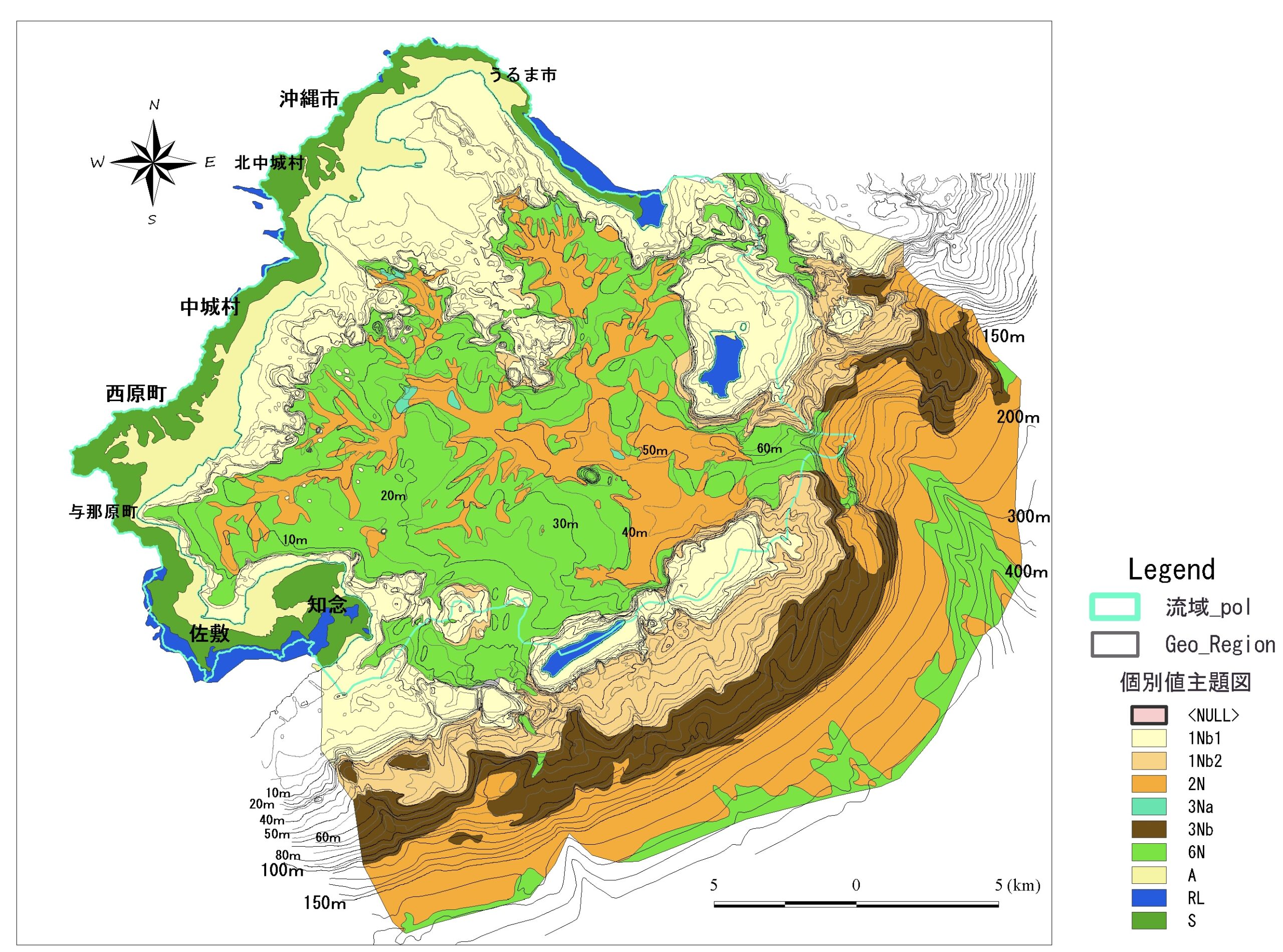
Abstract: Through the digitization and analysis of Geographic Information System (GIS) data obtained from the “Chunjun Bay Submarine Topography Geological Survey Report” (Japan Coast Guard, Hydrographic Department, 1985), this study illuminated the terrain of the central and southern parts of Okinawa Island, specifically unveiling the formation processes of Nakagusuku Bay. Beneath Nakagusuku Bay, the ancient Nakagusuku River, infilled by alluvial deposits, once existed as a river system developing through the exposure of the Shimajiri Group hill formations during the low sea level period of the Ice Age. Based on the sedimentation rate of alluvial deposits over the past 10,000 years, it was deduced that the erosion of the Shimajiri Group hill formations led to the creation of Nakagusuku Bay.
During the Ice Age’s sea level reduction, the Ryukyu Group, which was distributed downstream in the ancient Naha River, prevented erosion towards the Shimajiri Group’s upstream area. The ancient Nakagusuku River exposed the entire basin to the Shimajiri Group during the low sea level periods of the Ice Age, resulting in a significant altitude difference between the Shimajiri and ancient Nakagusuku hills. This disparity caused cliffs and steep slopes near the watershed area. The erosion of the ancient Naha River basin occurred due to the collapse of these steep slopes, leading to the formation of a wind gap.
The emergence of Nakagusuku Bay and the unique surrounding topography resulted from the submergence of the ancient Nakagusuku River due to the rapid post-Ice Age rise in sea levels. (ChatGPT)
Abstract: The topography of central and southern Okinawa Island and the formation process of Nakagusuku Bay are clarified based on GIS data and analysis of “Report on Topographic and Geological Survey of Nakagusuku Bay” (Japan Coast Guard Hydrographic Department, 1985) and others. The Paleo-Nakagusuku River, which was reclaimed by the Alluvium under the seafloor of Nakagusuku Bay, developed on the hillside where the Shimajiri Group was exposed during the glacial low sea level period. Based on the depositional rate of the Alluvium during the past 10,000 years, it is possible that Nakagusuku Bay was generated by the erosion of the Shimajiri Group-exposed hillslope. In the Paleo-Naha River, the Ryukyu Group distributed in the downstream area during the glacial sea-level lowering prevented the Shimajiri Group distribution area in the upstream from eroding downward. During the glacial sea-level lowering period, the entire basin of the Ko Nakagusuku River was exposed to the Shimajiri Formation, which caused a difference in elevation between the Shimajiri and Ko Nakagusuku hills, resulting in cliffs and steep slopes near the watershed boundary. The collapse of these steep slopes caused the erosion of the Paleonaha River basin and the formation of a wind gap. The submergence of the Paleo-Nakagusuku River due to the rapid rise in sea level during the post-glacial period resulted in the birth of Nakagusuku Bay and the unique topography of the Nakagusuku Bay area. (DeepL)

コメント